Walk it yourself · Jing’an / Huangpu
From the warehouses to the southern Bund
Warehouses on Suzhou Creek, a bridge crossing and a deliberate street walk to the southern portfront.
- Allow
- 3–4 hours
- Core route
- 5.1 km · 6 stops
- Cost
- Free exterior route
- Checked online
- 24 October 2026
Start & finish
Suzhou Creek, one real bridge crossing, and a street link to the working river
Finish on the public Shiliupu promenade. Yuyuan Garden Metro is an onward street walk, not the final map pin. For a shorter version, stop after Zhejiang Road Bridge.
Fotografiska riverside warehouse
Fotografiska影像艺术中心
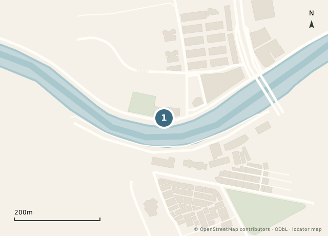
A warehouse reused for contemporary photography. The free walk uses its river-facing exterior; gallery admission is an optional detour.
Compare the heavy warehouse shell with the large river-facing openings.
127 Guangfu Road, Jing’an, Shanghai上海市静安区光复路127号Access: Use the public Guangfu Road exterior. Optional galleries open daily 10:30–23:00; the operator lists adult tickets at RMB 80 on weekdays and RMB 100 on weekends/public holidays. Check the current exhibitions. Café hours differ.
Official visitor informationContinue east on the public Guangfu Road sidewalk and open north-bank paths. Return to street level if a riverside section is closed; no bridge crossing is needed yet.
Sihang Warehouse and Jinyuan Square
四行仓库与晋元纪念广场
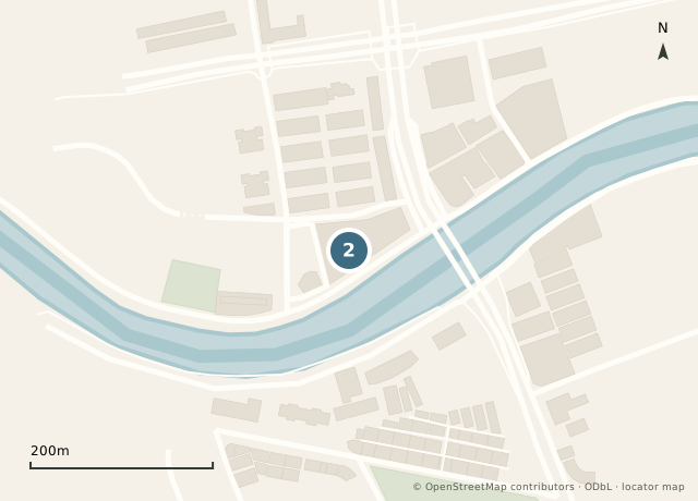
The memorial addresses the 1937 defense by Chinese National Revolutionary Army troops. Distinguish the historic battle from today’s reconstructed memorial presentation.
The preserved/reconstructed west-wall battle marks and the narrow river separating this bank from the former settlement.
21 Guangfu Road, near Jinyuan Road, Jing’an, Shanghai上海市静安区光复路21号(近晋元路)Access: Observe from the street and square. The optional museum lists Tuesday–Sunday, 09:00–16:30, last entry 16:00. Use its official visitor address, 21 Guangfu Road. Confirm current booking and ID rules.
Official visitor informationContinue east along Guangfu Road and the public north-bank connections toward Zhejiang North Road. Return to street level wherever the promenade is interrupted. Do not enter private warehouse yards.
Zhejiang Road Bridge
浙江路桥
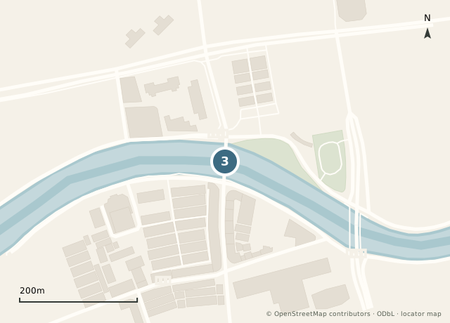
This is the route’s river crossing. Pause on the pedestrian side to compare the two banks, then cross north to south. A bridge makes the creek’s width and the warehouses’ scale easier to read.
The curved steel truss and its relationship to the low warehouses.
Zhejiang North Road–Zhejiang Middle Road at Suzhou Creek, Shanghai上海市浙江北路—浙江中路跨苏州河处Access: Public road bridge. Use its pedestrian side and follow any temporary traffic restrictions. Continuous step-free riverside access has not been confirmed.
Official visitor informationCross the bridge north to south. Take Zhejiang Middle Road south, Fuzhou Road east, then Sichuan Middle Road south. Continue on Sichuan South Road after East Yan’an Road, and turn east on Jinling East Road. Use the designated Zhongshan East 2nd Road crossing toward the Signal Tower. This is a city-street link, not a continuous river path.
Bund Signal Tower
外滩信号台
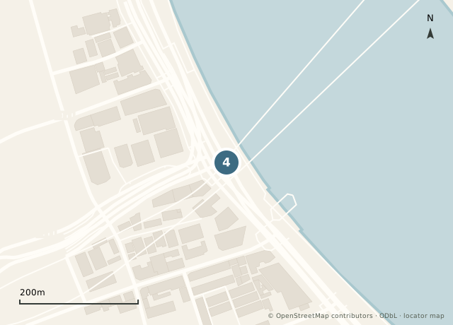
The southern Bund gives a different account of the river: navigation, weather signals and port operations. The tower works best after the street approach, when you meet the broad Huangpu again.
The circular tower and the river sightline. Distinguish the 1884 signal-station origin from the later masonry tower.
1A Zhongshan East 2nd Road, Huangpu, Shanghai上海市黄浦区中山东二路1号甲Access: Public exterior. The Shanghai tourism portal lists the reopened interior at 10:00–22:00. Recheck current entry details. Reach the tower using a designated crossing of Zhongshan East 2nd Road.
Official visitor informationContinue south by the public Zhongshan East 2nd Road / Renmin Road corridor toward Gucheng Park. Use marked crossings and a signed park gate. The pin shows the park interior, not a particular entrance; if the gate is closed, view the park from its street edge.
Gucheng Park
古城公园
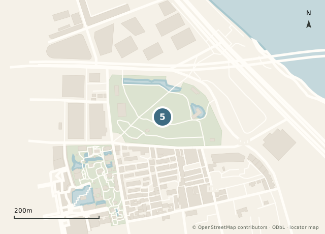
A green pause at the former old-city edge. It helps explain why the port and the Chinese city were neighboring but different urban spaces.
The curve of Renmin Road and the park’s position between old city and waterfront.
333 Renmin Road, Huangpu, Shanghai上海市黄浦区人民路333号Access: Shanghai government reports 24-hour opening since December 2025, with ten entrances. The pin locates the park interior. Follow a signed open gate; if access changes, use the public street-edge alternative.
Official visitor informationReturn along the mapped park approach toward the Renmin Road / Zhongshan East 2nd Road junction. Use a signed pedestrian crossing to reach the public riverfront, then continue south beside the cruise terminal. Stay out of road-tunnel entrances and ticketed embarkation areas. If a gate or crossing is diverted, follow the posted public-street route.
Shiliupu waterfront
十六铺滨水空间
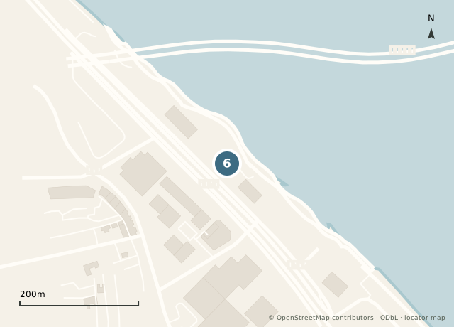
Finish where river travel and port commerce are still legible. A cruise ticket is not part of the free walking route.
The modern pier entrance and the scale of the river traffic.
Public waterfront beside 481/491 Zhongshan East 2nd Road, Huangpu, Shanghai上海市黄浦区中山东二路481、491号旁公共滨水空间Access: Use the public promenade beside the cruise terminal. Ticketed piers and embarkation areas are outside the free route. Terminal activity was documented in June 2026; event controls may restrict parts of the waterfront.
Official visitor information