At the Bund, you stand beside the subject
The familiar Bund promenade puts the older waterfront buildings on your side of the river, with Lujiazui across the water. That arrangement gives you a choice: look outward at the skyline or turn back toward the facades. The second action is easily neglected. Columns, window rhythms, rooflines and changes between one commercial frontage and the next are the reason to spend time on this bank instead of merely locating a photograph of the opposite one.
For an architecture visit, I would keep the first circuit short. Select two neighboring buildings and compare how each announces its entrance. Then look at the whole riverfront line. You do not need to cross every road or obtain interior access for that exercise. Use formal crossings and appropriate public viewpoints; traffic and barriers are part of the actual geography, even when an edited photograph makes the buildings and promenade appear to touch.
At the North Bund, the relationship is the subject
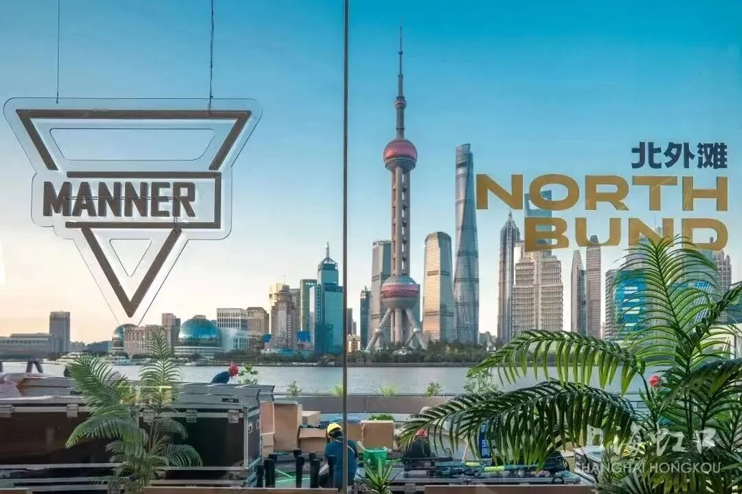
The North Bund riverfront in Hongkou offers views across to Lujiazui and back toward the historic Bund. Shanghai's own visitor guidance explicitly identifies the chance to place both in one frame. This is the strongest reason to choose it. A photograph can describe the relationship among three parts of the city instead of presenting either the older waterfront or the towers as a self-contained spectacle.
Look for overlap. Which tower seems to stand behind another from your position? How much open water separates the visible groups of buildings? Move along an authorized public path and see how the composition changes. The skyline has not changed in those few minutes, but your understanding of it can. I find this a more satisfying use of the promenade than treating every sculpture as a compulsory stop in a photo circuit.
| Preference | Start with | Give time to |
|---|---|---|
| Read the historic riverfront frontage | The Bund | Buildings, entrances and the relationship to the water |
| A different riverfront angle on Pudong | The North Bund | The open view and the wider Hongkou context |
| A fuller history of the city | One compact area first | A few connected stories instead of two rushed waterfronts |
Use a current riverfront route as a starting point
A Hongkou government route published on 19 October 2026 gives the North Bund walk a practical spine: International Cruise Terminal Station on Metro Line 12, the riverfront, Gate of Music, the yacht service station and Gongping Road Pier. The city allows about an hour and a half. Gate of Music, attributed in the municipal fitness guide to Will Alsop, supplies a contemporary architectural counterpoint to the historic buildings across the river.
Notice the difference between a waterfront object and the waterfront itself. A sculpture or pavilion concentrates people at a point; the promenade lets the view unfold through movement. I would walk past the first crowded photo spot, spend time with the changing panorama and return only if the object still interests me. The river is doing more architectural work than most of the installations beside it: it creates the distance that makes the larger city legible.
Quieter is a comparison, not a guarantee
Some municipal guidance describes the North Bund as quieter than the Bund. I would treat that as a broad comparison and still expect popular viewpoints to attract visitors. Events, weekends and weather can change the balance. If your goal is a little space, be willing to move beyond the first cluster of people rather than assuming that a less crowded district must have an empty landmark waiting at its most recognizable sculpture.
Likewise, do not choose purely by a promise of perfect light. Mist, cloud and visibility may be more important than the theoretical direction of the sun. Daylight is often more useful for reading older facade detail; illuminated towers give a different kind of evening image. Neither requires a claim that one precise minute is always best. Decide whether you want to understand buildings, make photographs or simply have a river walk, then use the conditions you actually have.
Combining them costs more than the line on the map suggests
Suzhou Creek is an important part of the comparison. The Bund lies south of its mouth, while the North Bund belongs to the Hongkou side. Bridges and approaches therefore mediate the connection between the riverfronts. On a map, mark the water first, then the public crossing and the riverside entry you intend to use. This is a useful correction to a skyline photograph, which can make distinct banks seem like one continuous viewing terrace.
My preference for a short visit is one bank done properly. If you have more time and want the comparison, make the crossing and approach part of the subject: how does the city bring a pedestrian to the water? You will notice differences in street width, edge treatment and the way buildings meet public space. That is more interesting than arriving at the second viewpoint only long enough to prove you reached it.
A useful choice for your itinerary
Choose the Bund for a first close look at Shanghai's historic business waterfront, especially if your interest is buildings rather than only the modern skyline. Choose North Bund for a generous river view and a walk in which the city's different waterfronts appear together. If you have already studied the Bund facades, North Bund adds an alternative relationship to them. If you have never turned around on the Bund promenade, do that before assuming you have finished with it.
For a walk with Edward, choose whether commercial architecture or the river's broader geography should lead. A facade-led Bund walk and a North Bund panorama walk produce different conversations. On the first, detail is close enough to compare; on the second, distance allows you to understand the groups of buildings together. If you combine them, check the current public route and allow time for the connection. More waterfront becomes worthwhile when the second view adds an idea, rather than another version of the same photograph.